

About the series:
ITMB Publishing Ltd. - Travel Reference Map
ITM
International Travel Maps is a Canadian map publisher. The maps mainly covers the newer travel destinations in Latinamerica, Caribbean, Africa, Asia and Nort America. A special series is the "Discover British Columbia". Some of the maps have comments to the different sights.
Nyheder (Se Alle)
-
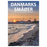 Dkr 149.95
 -

111 steder i Trekantområdet som du skal se
Dkr 249.95 -
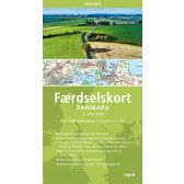
Færdselskort Danmark 2024-2025
Dkr 149.95 -
 Dkr 149.95
 -
 Dkr 149.95
 -
 Dkr 149.95
 -
 Dkr 199.95
 -
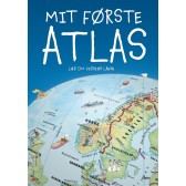
Mit første Atlas - lær om verdens lande
Dkr 199.95 -
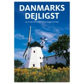 Dkr 149.95
 -

111 steder i Hamborg som du skal se
Dkr 249.00