

About the series:
Michelin - Motoring Atlas
Michelin
Motoring Atlas
The French Michelin are known for their precise and up-to-date maps. The maps comes in different series indicated by colour. The red covers Western Europe, Africa and a few countries in Asia. The orange divides Great Britain, Spain, Italy and Germany in maps scale 1:400.000. The yellow divides France, Switzerland and the Benelux in maps scale 1:200.000. It is these maps that are mentioned the Micheling guides. Further more there is a blue series with citymaps for Europe, streetatlas to Europe, France, Italy, Spain and Great Britain.
Nyheder (Se Alle)
-
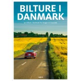
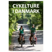 Dkr 199.95
 -
 Dkr 149.95
 -
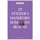
111 steder i Hamborg som du skal se
Dkr 249.00 -
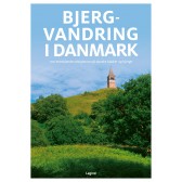
 Dkr 149.95
 -
 Dkr 149.95
 -
 Dkr 149.95
 -
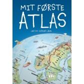
Mit første Atlas - lær om verdens lande
Dkr 199.95 -
 Dkr 149.95
 -
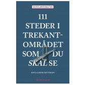
111 steder i Trekantområdet som du skal se
Dkr 249.95 -
Færdselskort Danmark 2024-2025
Dkr 149.95