

About the series:
Hema Maps - National parks
Hema
National Parks
An Australian publisher. The maps mainly covers Australia, the whole country, the single states, regional areas, Nationalparks and citymaps, but also maps to the islands of the Pacific. From the same publisher comes streetatlas to Australia and New Zealand. As a speciality they make a map of the world "upside down", where Australia is placed where you usually find Europe and everything is turned upside down.
Nyheder (Se Alle)
-
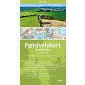
Færdselskort Danmark 2024-2025
Dkr 149.95 -
 Dkr 199.95
 -
 Dkr 149.95
 -

111 steder i Trekantområdet som du skal se
Dkr 249.95 -

111 steder i Hamborg som du skal se
Dkr 249.00 -
 Dkr 149.95
 -
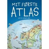
Mit første Atlas - lær om verdens lande
Dkr 199.95 -
 Dkr 149.95
 -
 Dkr 149.95
 -
 Dkr 149.95