

About the series:
Nordeca - Turkart
Nordeca Turkart
The state run Norwegian map publisher. All of Norway is covered by detailed topographical maps in scale 1:50.000 and a roadatlas in 1:300.000. Further more is published a series of hikingmaps in different scales (1:50.000 - 1:100.000) over the most popular places in Norway. These maps shows hikingroutes, skiing routes, huts and shelters, and many have practical information on the reverse side.
Nyheder (Se Alle)
-
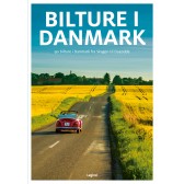 Dkr 149.95
 -
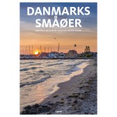 Dkr 149.95
 -

111 steder i Hamborg som du skal se
Dkr 249.00 -
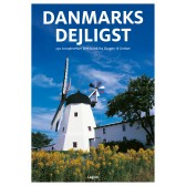 Dkr 149.95
 -
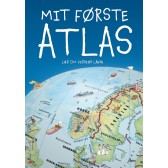
Mit første Atlas - lær om verdens lande
Dkr 199.95 -
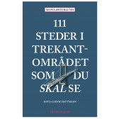
111 steder i Trekantområdet som du skal se
Dkr 249.95 -
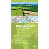
Færdselskort Danmark 2024-2025
Dkr 149.95 -
 Dkr 149.95
 -
 Dkr 199.95
 -
 Dkr 149.95