

Nyheder (Se Alle)
-
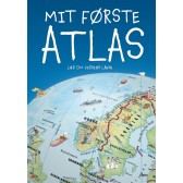
Mit første Atlas - lær om verdens lande
Dkr 199.95 -
 Dkr 149.95
 -
 Dkr 149.95
 -
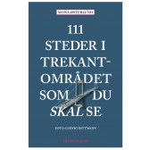
111 steder i Trekantområdet som du skal se
Dkr 249.95 -
 Dkr 149.95
 -
 Dkr 199.95
 -
 Dkr 149.95
 -

111 steder i Hamborg som du skal se
Dkr 249.00 -
Færdselskort Danmark 2024-2025
Dkr 149.95 -
 Dkr 149.95