

About the series:
Kummerly + Frey - Kümmerly+Frey
Kümmerly+Frey
A Swiss publisher.
The most known maps are of Italy in scale 1:200.000 and are produced in co-operation with the italian publisher Touring Club Italiano.
Nyheder (Se Alle)
-
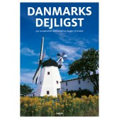 Dkr 149.95
 -
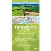
Færdselskort Danmark 2024-2025
Dkr 149.95 -

111 steder i Hamborg som du skal se
Dkr 249.00 -
 Dkr 149.95
 -
 Dkr 149.95
 -
 Dkr 199.95
 -
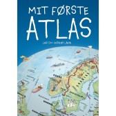
Mit første Atlas - lær om verdens lande
Dkr 199.95 -

111 steder i Trekantområdet som du skal se
Dkr 249.95 -
 Dkr 149.95
 -
 Dkr 149.95